Geo-Wiki is a global network of volunteers who help to improve the quality of global land cover maps. It is run by researchers at IIASA.
Since large differences occur between existing global land cover maps, current ecosystem and land-use science lacks crucial accurate data, which is for example needed to monitor deforestation or determine the potential of additional agricultural land available to grow crops in Sub-Saharan African countries.
GeoWiki is a volunteer community that helps generate and improve land data through different apps based on desk monitoring of land use change or field research. We are currently running the FotoQuest Austria campaign which provides users with an app to verify land cover through photos in the field.
The input provided by users is recorded in a central database and is for the creation of improved global land cover map and datasets that are freely available to any user.
 International Institute for Applied Systems ...
31 meter
Hier wird an derart hanebüchenen "Ideen" geforscht, dass die Vermutung nahe...
International Institute for Applied Systems ...
31 meter
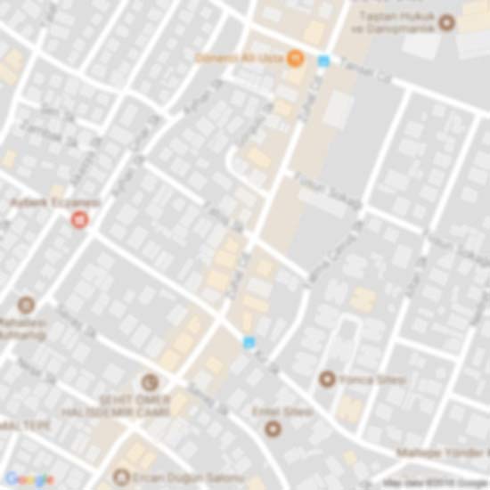
Hier wird an derart hanebüchenen "Ideen" geforscht, dass die Vermutung nahe... Kulturverein Alt-Laxenburg
139 meter
Die Gegend und der Park sind wunderschön. Auch der große Kinderspielplatz bietet, was...
Kulturverein Alt-Laxenburg
139 meter
Die Gegend und der Park sind wunderschön. Auch der große Kinderspielplatz bietet, was...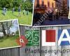 Pfadfindergruppe Laxenburg
269 meter
Wir sind Mitglied der größten Kinder und Jugendbewegung der Welt und möchten dazu bei... Filmarchiv Austria
2 km
Übersetzt von Google Es ist geschlossen, und es wird nie wieder geöffnet werden. Trau...
Pfadfindergruppe Laxenburg
269 meter
Wir sind Mitglied der größten Kinder und Jugendbewegung der Welt und möchten dazu bei... Filmarchiv Austria
2 km
Übersetzt von Google Es ist geschlossen, und es wird nie wieder geöffnet werden. Trau...hinzufügen eines GeoWiki-stadtplans zu ihrer webseite;

Wir verwenden Cookies und andere Tracking-Technologien, um Ihr Surferlebnis auf unserer Website zu verbessern, Ihnen personalisierte Inhalte und gezielte Anzeigen anzuzeigen, unseren Website-Verkehr zu analysieren und zu verstehen, woher unsere Besucher kommen. Datenschutz-Bestimmungen