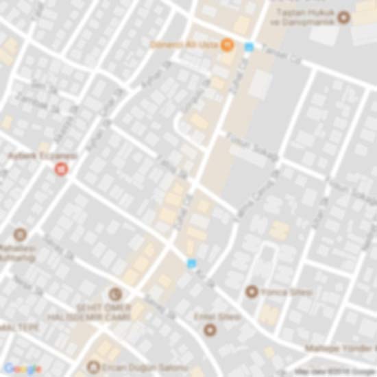
The Großer Geiger, formerly also called the Obersulzbacher Venediger and Heiliggeistkogel, is a mountain, in the Venediger Group in the main chain of the Central Tauern (Mittlerer Tauernhauptkamm). This chain lies in the High Tauern, part of the Austrian Central Alps on the border between the Austrian states of Tyrol in the south and Salzburg in the north.The mountain was given its present name in 1855 by the Austrian chemist and cartographer, Franz Keil. Because of its isolated situation the Großer Geiger has a significant dominance. With its distinctive, symmetric, pyramidal shape and its mighty northwest face which rises 350 metres above the Obersulzbachkees glacier at a gradient of 50°, it is the most prominent landmark in the entire Upper Sulzbach valley. Arêtes radiate from the summit in all four directions of the compass. The mountain is easy to reach and is thus a popular touring and climbing destination. It was first climbed on 20 August 1871 by the Alpinist, Richard Issler, and mountain guide, Michael Groder from the Johannis Hut to the south.Surrounding areaThe Großer Geiger is surrounded by glaciers, which reach a height of over 3,200 metres in places. To the north lies the Obersulzbachkees, to the east the Dorferkees, to the south and west is the Maurerkees. Its nearest peak is the Großvenediger, at 3,667 metres the highest mountain of the group, which lies to the northeast on the main chain of the Tauern, separated by the mountain pass of Obersulzbachtörl at a height of 2,921 metres. The only other significant neighbouring peaks are the three Maurerkeesköpfe (Kleiner- 3,205 m, Hinterer- 3,313 m and Mittlerer Maurerkeeskopf at 3,281 m) on the line of the western arête. The nearest sizeable settlement is the Tyrolean village of Hinterbichl near Prägraten 10 kilometres away as the crow flies in the Virgental valley. Sulzau in Salzburg's Pinzgau valley is 17 km away to the north.
 Keeskogel
5 km
Gut für trittsichere Bergwanderer... Herrliche Aussicht vom vorgeschalteten Venediger...
Keeskogel
5 km
Gut für trittsichere Bergwanderer... Herrliche Aussicht vom vorgeschalteten Venediger... Hohe Tauern National Park
5 km
Hohe Tauern National Park är en park i Österrike. Den ligger i den centrala delen av ... Sulzbachfall
16 km
Sulzbachfall är ett vattenfall i Österrike. Det ligger i förbundslandet Salzburg, i d... Obersulzbach
16 km
Obersulzbach är ett vattendrag i Österrike. Det ligger i förbundslandet Salzburg, i d... Untersulzbachtal
17 km
Das Untersulzbachtal ist ein rechtes, nordnordwestlich laufendes Seitental zur Salzac... Untersulzbach
17 km
L' est une rivière autrichienne de de long qui coule dans le land de Salzbourg. Elle ...
Hohe Tauern National Park
5 km
Hohe Tauern National Park är en park i Österrike. Den ligger i den centrala delen av ... Sulzbachfall
16 km
Sulzbachfall är ett vattenfall i Österrike. Det ligger i förbundslandet Salzburg, i d... Obersulzbach
16 km
Obersulzbach är ett vattendrag i Österrike. Det ligger i förbundslandet Salzburg, i d... Untersulzbachtal
17 km
Das Untersulzbachtal ist ein rechtes, nordnordwestlich laufendes Seitental zur Salzac... Untersulzbach
17 km
L' est une rivière autrichienne de de long qui coule dans le land de Salzbourg. Elle ... Burgruine Hieburg
18 km
Wollte mit meiner Frau die schöne Burgruine anschauen,leider war sie gesperrt wegen E...
Burgruine Hieburg
18 km
Wollte mit meiner Frau die schöne Burgruine anschauen,leider war sie gesperrt wegen E...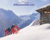 skitourenwinter.com
18 km
skitourenwinter.com
Spaß im Schnee abseits der Piste – mit uns erlebt Ihr den Winter ...
skitourenwinter.com
18 km
skitourenwinter.com
Spaß im Schnee abseits der Piste – mit uns erlebt Ihr den Winter ... Steineralm
19 km
Nach einer Wanderung leider nur breiter Fahrweg haben wir die steineralm erreicht. Wi... Rossberg
20 km
Rossberg är ett berg i Österrike. Det ligger i distriktet Politischer Bezirk Zell am ...
Steineralm
19 km
Nach einer Wanderung leider nur breiter Fahrweg haben wir die steineralm erreicht. Wi... Rossberg
20 km
Rossberg är ett berg i Österrike. Det ligger i distriktet Politischer Bezirk Zell am ...hinzufügen eines Großer Geiger-stadtplans zu ihrer webseite;

Wir verwenden Cookies und andere Tracking-Technologien, um Ihr Surferlebnis auf unserer Website zu verbessern, Ihnen personalisierte Inhalte und gezielte Anzeigen anzuzeigen, unseren Website-Verkehr zu analysieren und zu verstehen, woher unsere Besucher kommen. Datenschutz-Bestimmungen